
Armchair location scouting
Not everyone has the luxury of taking a week to scout a new location for potential photographs and best viewpoints. (In fact, does anyone who isn't a professional location scout?)
But with Google maps and a couple of apps, you can plan a photography trip so that as far as humanly possible, you stand the best chance of getting the best shots. (Do build in some time for serendipitous photography though - it's all a balance between getting THE shot, and maybe getting something a bit more unique to you.)
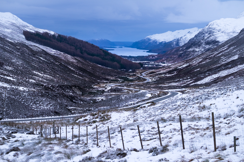
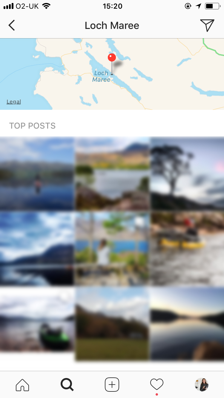
A view of Loch Maree in the Scottish Highlands - I found the car park where I stood to take the photo before I left home, using Instagram and Google maps.
Location scouting for photographers
Last year I drove the North Coast 500, which is a 500-mile route around the very top of Scotland. It's beautiful, wild, remote and a photographer's dream. I've since been back twice. But the first time I went, I had never been further north than Edinburgh. This is the process I use when I want to plan an itinerary like this to a place I've never been.
Finding Broad locations
I start by compiling a list of general places I want to visit, and views I want to photograph. Once I have this list I move to the next step - specifying exactly where to stand and exactly when (more below).
1. Instagram
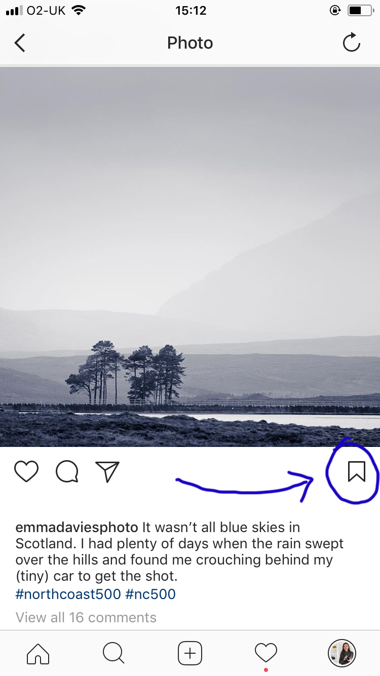
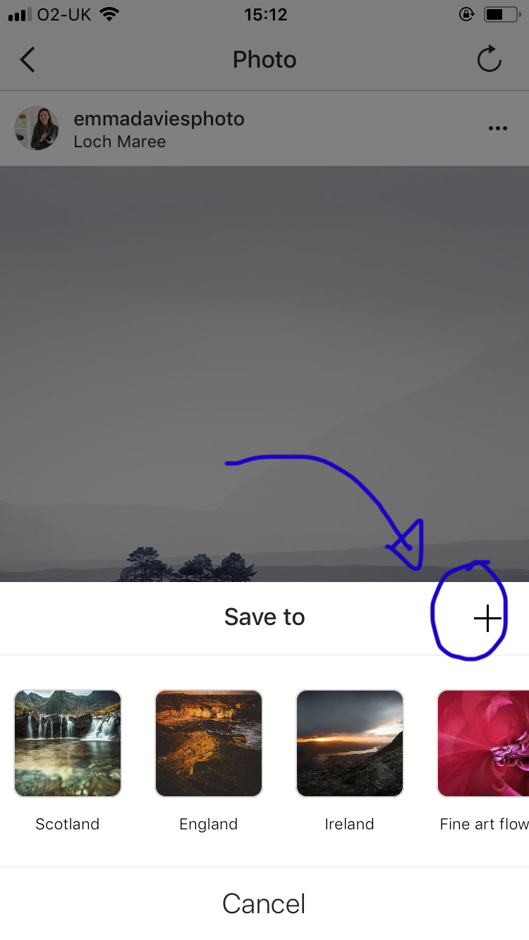
Did you know you can save photos into Collections on Instagram? If you know you will be visiting Scotland, and you start to follow some Scottish photographers, or Scottish hashtags, you can keep potential locations together in one place. First, click the little flag underneath the photo, and then save it to your collection. If you need to create a new collection, click the "+" button and give your new collection a name:
To find photos in the first place on Instagram:
- do a location search
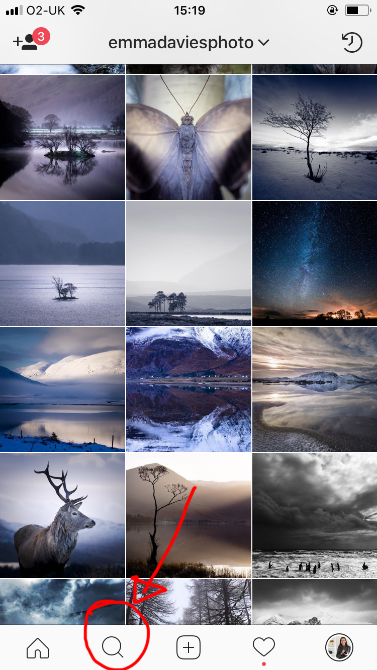
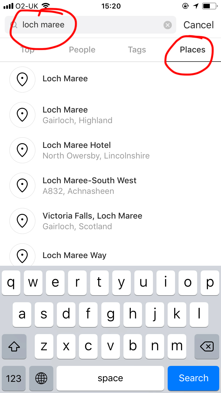
- do a hashtag search
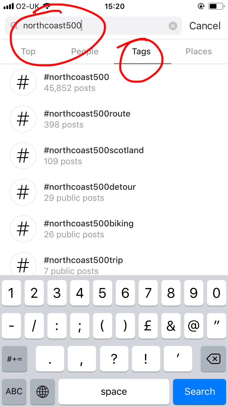
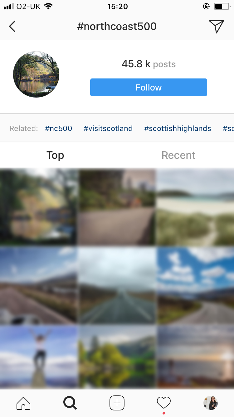
To find hashtags to search, start with something obvious like the name of the place, or the route, or the country, and then pay attention to the "related" hashtags that Instagram will recommend. If you look at the last example, Instagram is suggesting #NC500, #visitscotland and #scottishhighlands as good hashtags to try. And if you click on each one of those, there will be others to look at. If you click the big blue "Follow" button, new photos on that hashtag will start showing up in your feed even if you don't follow the person who posted it.
2. 500px
500px is a scarily professional looking photo sharing site. You will be faced with hundreds of over-processed, vibrant, eye-catching images the first time you arrive there. But don't let that put you off.
If you find the search page (https://500px.com/search) you can use it just like Instagram: put in your location or route, and any photos tagged with that place will show up. Because 500px runs a popularity algorithm, the "best" photos will be the ones you see first. They might not be the ones you like, but they will have some well thought out viewpoints and composition, so it's a good place to start.
Click on a viewpoint you like the look of, and see how helpful the photographer has been. Often they will pin point exactly where they stood, which is very useful if you are short on scouting time.
Getting more specific
1. Where to stand?
Google maps is a great resource to find out practical details like how close you can park to a viewpoint, is there a footpath, and exactly how remote will it be. Turn on the "terrain" satellite overlay to see exactly what the location will look like. And if there is street view available, try it out and drag the panorama around so you can see exactly what it looks like from the ground.
For example, when researching Loch Maree, I can see from Google maps where the roads are:

If I turn on the satellite view and zoom right in, I can find a car park right next to the loch:

And if I turn on Street View, I can take a trip around the car park itself:

2. When to go?
Landscape photography is all about the light. So you need to know where the sun will be coming from on the day you want to go (or even better - work out when the sun will be in the right place, and go on that day).
You can plan your ideal day to visit from a light perspective, but as it gets closer to the day you'll need some local weather forecasting to help you decide whether it's going to be thick cloud, fog, driving rain, or strong winds impossible to work in.
These are my favourite apps/websites for all this:
The Photographer's Ephemeris, and PhotoPills, for sun planning, moon phases and working out where the Milky Way will be.
The Met Office for short and long range weather forecasts, and for tide times (UK).
Yr.no for worldwide weather.
Metcheck for their cloud overlay/live rainfall feature (you can put in your location, look at the "local radar animation" and move to where it isn't raining).
GoldenHour - this app also gives you sunrise/sunset times and directions, but it also has a "Sky Index" feature that predicts whether it will be a good sunrise/sunset from a photographer's point of view.

Learn Photography with A Year With My Camera
The email version of my flagship photo workshop is free. Join here and get started today:

You might also be interested in: